ThisapplicationisGPSandcoordinatesystemshelperespeciallyformilitarypersonnel.
Itisalsoacompletehelperformountaineering,trekkingandhiking,crossrunning,scouting,hunting,fishing,geocaching,off-roadnavigationandallotheroutdooractivitiesandsports.
WithsatellitenavigationsystemssuchasGPS,GALILEOandGLONASS(GNSS)supportedbyyourdeviceandyoursensors,youcanseeyourmostaccuratepositionondifferentmaplayers.
Features:
*EasyandFaster
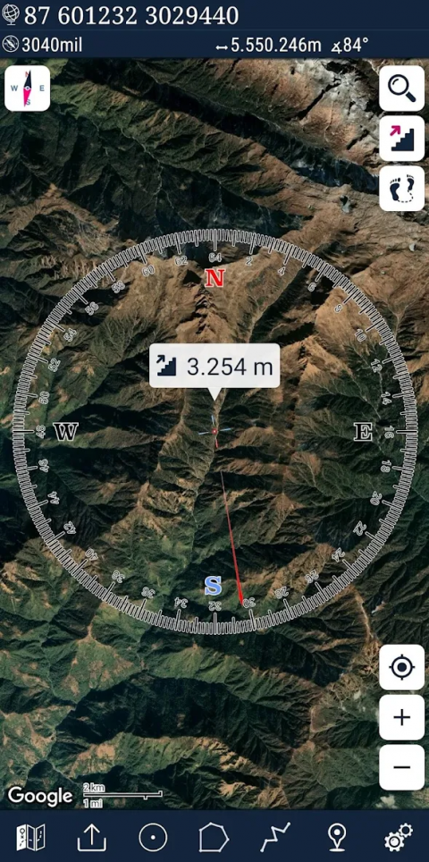
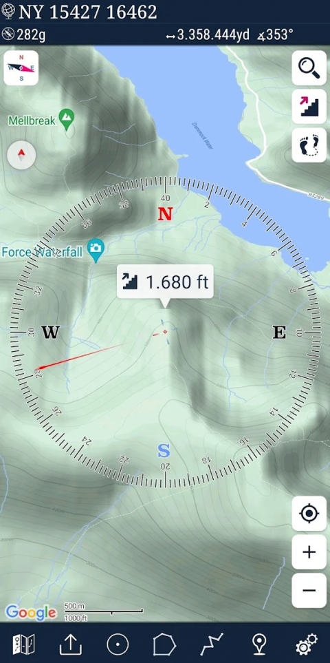
*Compass.
=>Compassonmap(onthemapthatshowsyourdirection)
=>Compassonly(showsphysicaldirections)
=>Angularunitsforcompass(degrees,NATOmil,SovietMil,Grad)
*FollowMode
=>Thecenterofthemapfollowsyourlocationwhileonthemove.
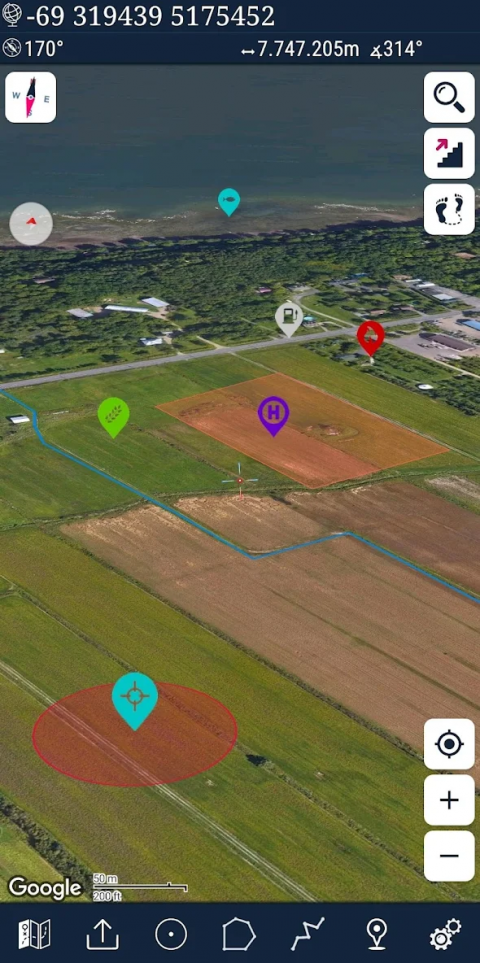
*Youcanaddandremovingmarkers.
*Distancemeasure.(Youcanaddcustomrouteandcalculatetotaldistance)
*Areameasure.(Youcanselectanareaonthemapandcalculatetheareainsquaremeters)
*Youcanseethealtitudeofyourlocation.
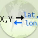
*YoucanfindthelocationaccordingtoDegree/Minute/Second,MGRS,UTMorLatitude/Longitudeformats.
*Location(Coordinate)formatoptions.
=>MGRS/U.S.NationalGrid(USNG)(WGS84/NAD83)
=>D°M'S"(WGS84)
=>Latitude/Longitude(WGS84)
=>UTM(WGS84/NAD83)
=>SK42(GaussKruger)
*Maptypeoptions(Road,Terrain,Satellite,NightMode,Hybrid)
*Youcansharelocationcoordinate.
*Distanceunitoptions.(meterandfeet).
*KMLviewer.(ExportandimportKMLlayers).
*GPStrackrecorder.
Show More

-
Mgrs & Utm Map
6.5.9for Android
DakikTech