
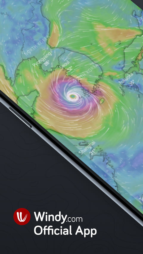
Windy(alsoknownasWindyty)isanextraordinarytoolforweatherforecastvisualization.Thisfast,intuitive,detailedandmostaccurateweatherappistrustedbyprofessionalpilots,paragliders,skydivers,kiters,surfers,boaters,fishermen,stormchasersandweathergeeks,andevenbygovernments,armystaffsandrescueteams.
Whetheryouaretrackingatropicalstormorpotentialsevereweather,planningatrip,pursuingyourfavouriteoutdoorsport,oryoujustneedtoknowifitwillrainthisweekend,Windyprovidesyouwiththemostup-to-dateweatherforecastaround.
TheuniquenessofWindyliesinthefactthatitbringsyoubetterqualityinformationthantheotherweatherapps’pro-features,whileourproductisabsolutelyfreeandevenwithoutads.
Powerful,smoothandfluidpresentationmakesweatherforecastingarealpleasure!
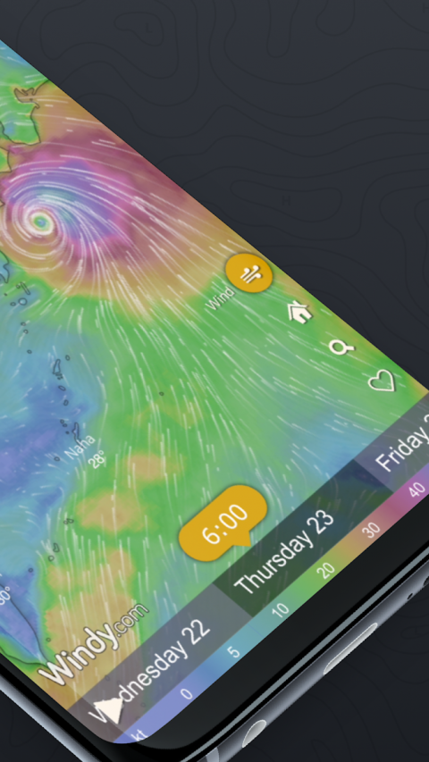
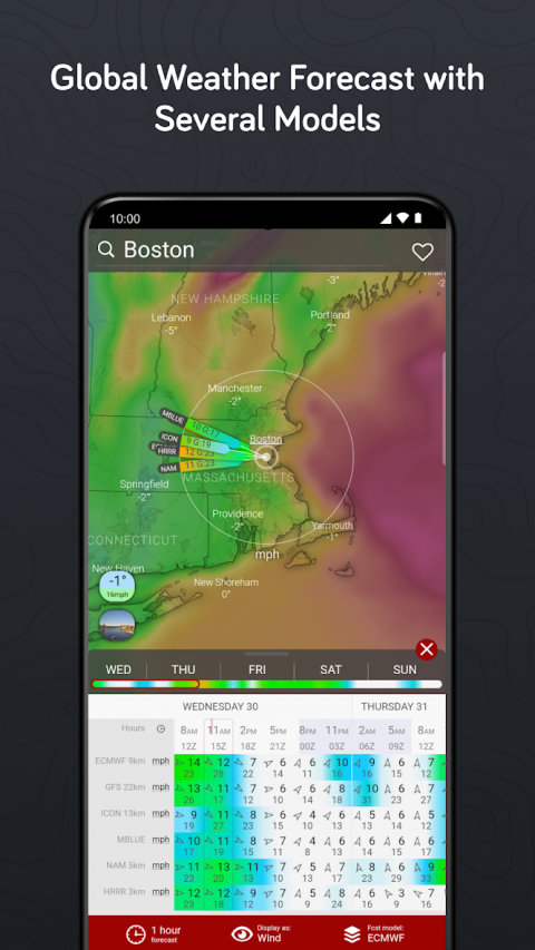
Allforecastmodelsatonce
Windybringsyoualltheworld'sleadingweatherforecastingmodels:globalECMWFandGFS,pluslocalNEMS,AROMEandICON(forEurope)andNAM(fortheUSA).
40weathermaps
Fromwind,rain,temperatureandpressuretoswellorCAPEindex,withWindyyouwillhaveallconvenientweathermapsjustatyourfingertips.
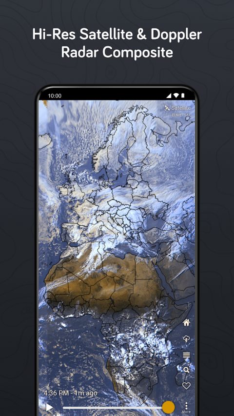
Satellite&Dopplerradar
GlobalsatellitecompositeiscreatedfromNOAA,EUMETSAT,andHimawari.Theimagefrequencyis5-15minutesbasedonarea.DopplerradarcoverslargepartsofEurope,America,Asia,andAustralia.
Pointofinterests
Windyletsyoudisplayobservedwindandtemperature,forecastedweather,airportsaroundtheWorld,1500+paraglidingspotsornearbywebcamsrightonthemap.
Fullycustomizable
Addyourfavouriteweathermapstoquickmenu,customizecolourpaletteonanylayer,accessadvancedoptionsinthesettings.AllthatmakesWindytheweathergeek'stoolofchoice.
Featuresanddatasources
✅Allleadingweatherforecastmodels:ECMWF,GFSbyNOAA,
✅SeverallocalweathermodelsNEMS,ICON,AromeandNAM
✅High-Ressatellitecomposite
✅Forecastmodelcomparison
✅+40globalweathermaps
✅Weatherradarformanyworldlocations
✅16altitudelevelsfromthesurfaceto13.5km/FL450
✅Metricorimperialunits
✅Detailedweatherforecastforanylocation(temperature,rainandsnowaccumulation,windspeed,windgustsandwinddirection)
✅DetailedAirgramandMeteogram
✅Meteogram:temperatureanddewpoint,windspeedandwindgusts,pressure,precipitation,altitudecloudcover
✅AltitudeandTimezoneinfo,SunriseandSunsettimeforanylocation
✅CustomizablelistofFavoritespots(withtheoptiontocreatee-mailAlertsforupcomingweatherconditions)
✅Nearbyweatherstations(Real-timeobservedweather-Reportedwinddirection,windspeedandtemperature)
✅50k+AirportssearchablebyICAOandIATA,including runwayinfo, decoded&rawMETARs, TAFand NOTAMs
✅1500+Paraglidingspots
✅Detailedwindandwaveforecastforanykitingorsurfingspot
✅Webcams
✅Tideforecast
✅TopographicmapsbyMapy.czandSatelliteimagerybyHereMaps
✅English+40otherworldlanguages
...andmanymore
Getintouch
Show More

-
Windy.com - Wind, Waves and Hurricanes Forecast
28.1.1for Android
Windyty SE