
**30DayFreeTrial!**
Plan.File.Fly.Log.
GarminPilotisthemostcomprehensivesuiteoftoolsforAndroiddesignedspecificallyforgeneralaviationandcorporatepilots.Flightplanning,LockheedMartinandDUATSfiling,charts,interactivemaps,weatherbriefingresourcesandnavigationcapabilities;it’sallincluded.Theapp’sintuitiveinterfacemirrorsthoseonthenewestGarmintouchscreenavionicssoyoucangoseamlesslyfrompreflighttoinflight.Plan,file,flywithGarminPilot.
Plan
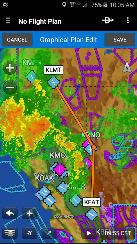
GarminPilot’spowerfulcapabilitiesstartwithpre-flightplanning,providingpilotswiththemostcomprehensiveaviationweatherinformationtomakebetter-informedflightdecisions.PilotscancheckNEXRADradar,visibleandinfraredcloudimagery,METARs,TAFs,AIRMETs,SIGMETs,PIREPs,NOTAMs,windsandtemperaturealoft,PIREPs,TFRsandlightningdata.WithGarminPilot,datacanbedisplayedoveraVFRsectionaloranIFRloworhighen-routecharttovisualizetheweatherforyourroute.Addtext-basedweatherwidgetsandusetheexclusiveNavTrackfeaturetoviewweatheralongtheplannedroute.
File
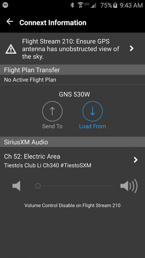
WithGarminPilot,userscaneasilyenteraflightplan.Pre-loadedformsmakeitquicktosaveandreusedataforfrequentlyflownroutes.Andwhentheflightplanisready,GarminPilotmakesitsimpletofile,cancelorclosetheflightplanviaLockheedMartinorCSCDUATS.
Fly
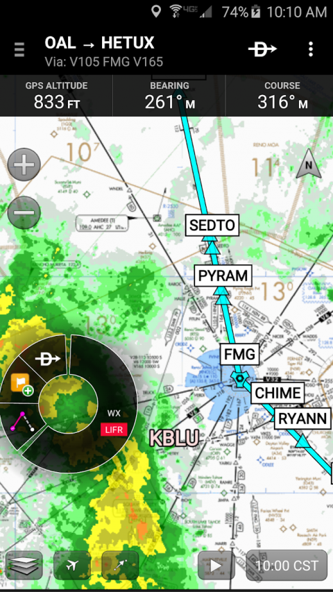
GarminPilotprovidesfullen-routenavigationcapabilityonitsmovingmap,whileshowingETE,ETA,crosstrackerror,distancetowaypointandcurrentposition.
Log
GarminPilotincludesacomprehensiveelectroniclogbookthatsyncswithflyGarmin.ThelogbookautomaticallygeneratesentriesbaseduponGPSdatacollectedduringtheflight,trackscurrency,supportsmanualentries,endorsementsandcreatesreports.
GarminPilot.It’stheappaviatorshavebeenwaitingfor.
Featuresinclude:
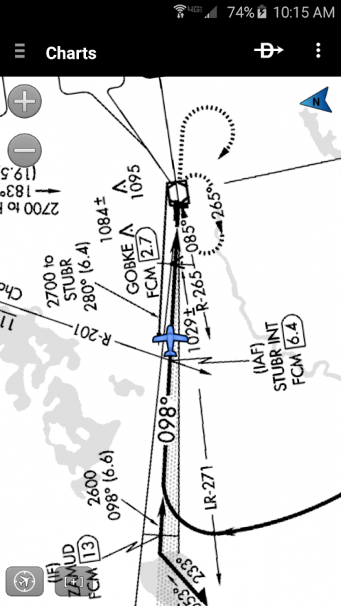
-Charts:VFRSectionals,lowandhighIFRen-route,airportdiagramsandapproachprocedures
-Optionalgeo-referenceGarminFliteCharts®andGarminSafeTaxi®showaircraftpositiononapproachchartsandtaxiways
-WeatherMaps:Animatedradar,AIRMETs/SIGMETs,Lightning,PIREPs,METARs/TAFs,WindsAloft,TFRs,InfraredandVisibleSatellite
-Extensivetextproducts:METARs,TAFs,WindsAloft,PIREPs,AIRMETs,SIGMETs,AreaForecastsandNOTAMs
-Dynamicweatheroverlayswithyourroutedisplayedonmap
-AOPAAirportDirectory
-FlightplanfilingviaLockheedMartinandDUATS
-ComprehensiveweatherdatadirectfromtheNationalWeatherServiceandEnvironmentCanada
Show More

-
Garmin Pilot
7.7.3for Android
Garmin International, Inc.