


Bringthemountainswithyouwhereveryougo!
*SearchthehugedatabaseofmountainsandtripreportsfromPeakbagger.comandListsOfJohn.com
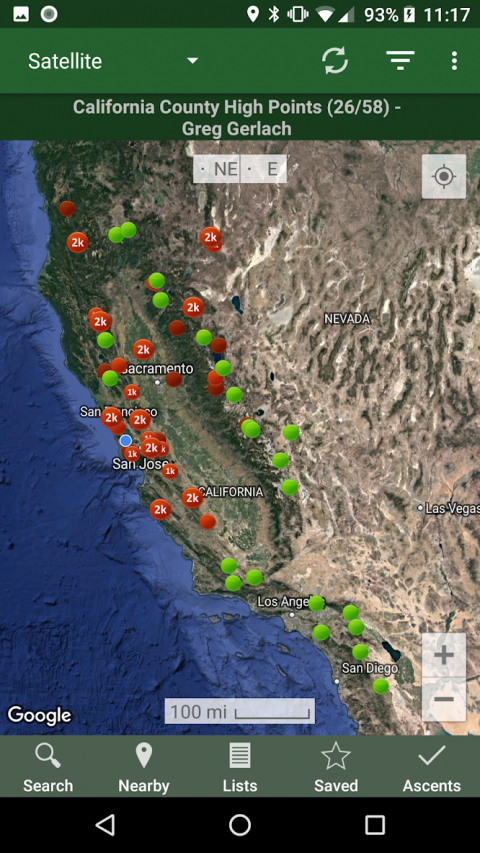
*Keeptrackofyourclimbs,evenwhenoffline
*Measureyourprogressagainsthundredsofpeaklists
*GetrouteinformationanddirectionsfromSummitPostandListsofJohn.com
*Findpeaksnearyourcurrentlocation,ornearotherpeaks
*Filterpeaksbyprominence,orclimbedvs.unclimbed,orinclusiononapeaklist
*Seewhatotherpeaksareoftenclimbedtogetherwithyourtargetpeak
*SeeweatherforecastsforallU.S.peaksfromtheNationalWeatherService,andfor11,000+majorpeaksworldwidefrommountain-forecast.com
*Seetopographicmapsforanywhereintheworld(+/-60degreeslatitude)
*SeeprotectedlandareacoverageinNorthAmerica,Europe,Japan,andAustraliaandNewZealand.
*Saveapeaktoyourdeviceforofflineuse,includingtopographicmaps
*Downloadtopographicmapsalongarouteforofflineuse
*ImportanddisplayGPStracksandwaypointsinstantly
*On-screencompasskeepsyouorientedalongyourtrack
*LongclickonthemaptogetStreetView,elevation,anddrivingdirections
*Recordyourstartingelevation,andinformationaboutthegearandrouteyouused
*Leaderboardsshowthetopclimbersforeachpeaklist
*SeepeaksyourPeakbaggerbuddieshaveclimbedrecently
*AutomaticallyuploadyourascentstoListsOfJohn(U.S.peaks)
*Showdailysatelliteimageryforanylocationonanydaysince2011
*DisplayelevationprofileforaGPStrack,andshowyourcurrentlocationalongtheprofile
*Seesunriseandsunsettimesatapeak,evenwhenoffline
*RecordGPStracks,includingtimestamps,andaddthemtoyourascents
*Createandedittracksrightintheapp
*Automaticallyfindsurveybenchmarksnearpeaks(U.S.)
*Huntbenchmarksandgetyourfindsrecordedintheofficialgovernmentbenchmarkdatasheets
HOWTOIMPORTGPSTRACKS-4OPTIONS
1)Clickonthe"LoadGPStrack"linkontheascentdetailspageforanascentthathasaGPStrack.
2)ClickonaGPX,KMLorKMZfileonyourphone,forexample,inanemailattachmentoronGoogleDrive
3)OpenaGPXfileinyourWebbrowser,thenclick"Share"inthebrowser'smenu,thenselect"Peakbagger"
4)DownloadorcopyaGPX,KML,orKMZfiletoyourphonemanually,thenopenitwithafilebrowsingapp(suchasDiscoverer)
Show More

-
Peakbagger
1.44.2for Android
Mountainside